




Environmental Approval through SETENA · D1 Form
We prepare and coordinate the technical information required to submit the D1 Form, integrating project characteristics, site environmental conditions, mapping and any specialized studies that may be needed.
The D1 involves much more than filling out a form
The D1 Form is one of the instruments used by SETENA to assess activities, works and projects. Preparing it may require technical, environmental, territorial and mapping information consistent with the actual characteristics of the project and its proposed location.
Before preparing the application, it is necessary to understand what will be built or developed, where it will be located, the site’s environmental conditions and the potential impacts to be assessed.
Depending on the project, disciplines such as geology, geotechnics, hydrogeology, hydrology, biology, archaeology, social assessment and cartography may be involved, alongside the identification and evaluation of environmental impacts.
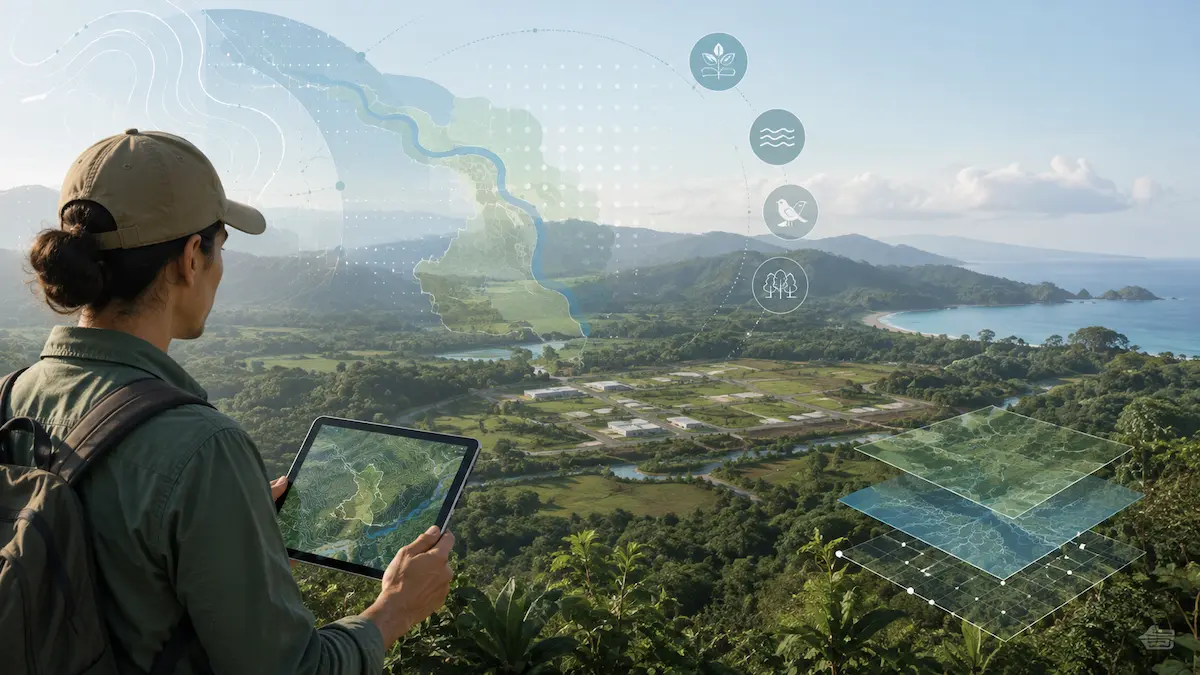
One D1 process may involve different levels of assessment
The instrument accompanying the D1 depends on the project characteristics and the outcome of the environmental assessment process. We therefore analyze the project first and then structure the appropriate application.
Sworn Declaration of Environmental Commitments
The instrument through which the developer formalizes environmental commitments arising from the assessment process and the measures to be fulfilled throughout project development.
Environmental Management Forecast and Plan
Examines relevant environmental aspects and impacts of the project in greater depth and establishes the measures, responsibilities and indicators required to manage them.
Environmental Impact Assessment
A more detailed environmental assessment focused on analyzing site conditions, identifying and evaluating significant impacts, and defining the necessary environmental measures.
Sworn Declaration of Environmental Commitments
The DJCA formalizes the commitments undertaken by the developer as a result of the project assessment process before SETENA.
What does it represent within the D1?
It should not be treated as a standalone document. The declaration is based on the information submitted for the project, its identified impacts and the applicable environmental measures.
Our role is to help ensure that these commitments are consistent with the project’s actual characteristics, design and environmental conditions identified while preparing the application.
Environmental commitments must be technically feasible
- Clearly defined project information.
- Identified site environmental conditions.
- Environmental measures compatible with the project.
- Consistency across documents, drawings and technical studies.
Environmental Management Forecast and Plan
The P-PGA examines in greater detail the relationship between the project, identified environmental impacts and the measures needed to manage them throughout the various development stages.
Environmental conditions
The information needed to understand the setting of the proposed project is brought together.
Environmental impacts
Relevant interactions between project activities and environmental components are identified and evaluated.
Measures and indicators
Environmental measures, responsibilities and mechanisms are established to monitor compliance.
Environmental Impact Assessment
An Environmental Impact Assessment provides a more detailed evaluation of the project and its area of influence to identify, assess and manage potentially significant environmental impacts.
A multidisciplinary assessment
Depending on the project characteristics, the EsIA may integrate physical, biological and social baseline information, supplemented by mapping and specialized technical studies.
The aim is not to collect independent studies but to interpret their findings together to understand how the project may interact with its surroundings.
From site assessment to environmental measures
- Environmental characterization of the area.
- Identification of potential impacts.
- Evaluation of relevant impacts.
- Definition of environmental measures.
- Integration of specialized technical studies.
- Mapping and spatial representation of the assessment.
Which studies might a project need?
Not every project requires the same studies. Location, proposed activity, design and environmental conditions determine which technical components must be developed or justified in the application.
Geology, soils and geotechnics
These studies help interpret geological and geotechnical site conditions and determine whether factors must be considered in the design or environmental assessment.
Hydrogeological study
Examines groundwater levels and behavior, aquifers, vulnerability and other factors that may constrain the project.
Hydrological study
Evaluates rainfall, runoff, drainage, streamflow and other hydrological conditions that may affect the project or its surroundings.
Natural hazards
Flooding, mass movements, faulting and other hazards may require specific assessments depending on the location and project characteristics.
Mapping and spatial analysis
We integrate property boundaries, the Project Area, environmental features, restrictions and other geographic information needed for a spatial understanding of the application.
Archaeological component
Depending on the project and site, an archaeological assessment by a qualified professional may be required.
Biological component
Vegetation cover, habitats, flora, fauna and site environmental sensitivity may require specialized assessment depending on project characteristics.
Social component
Some environmental assessment instruments require analysis of the project’s relationship with nearby communities, activities, social perceptions and other aspects of the human environment.
Identifying a constraint early can change a project
An early review helps identify conditions that may require additional studies, modifications to the proposed design or a different technical solution before the application is submitted.
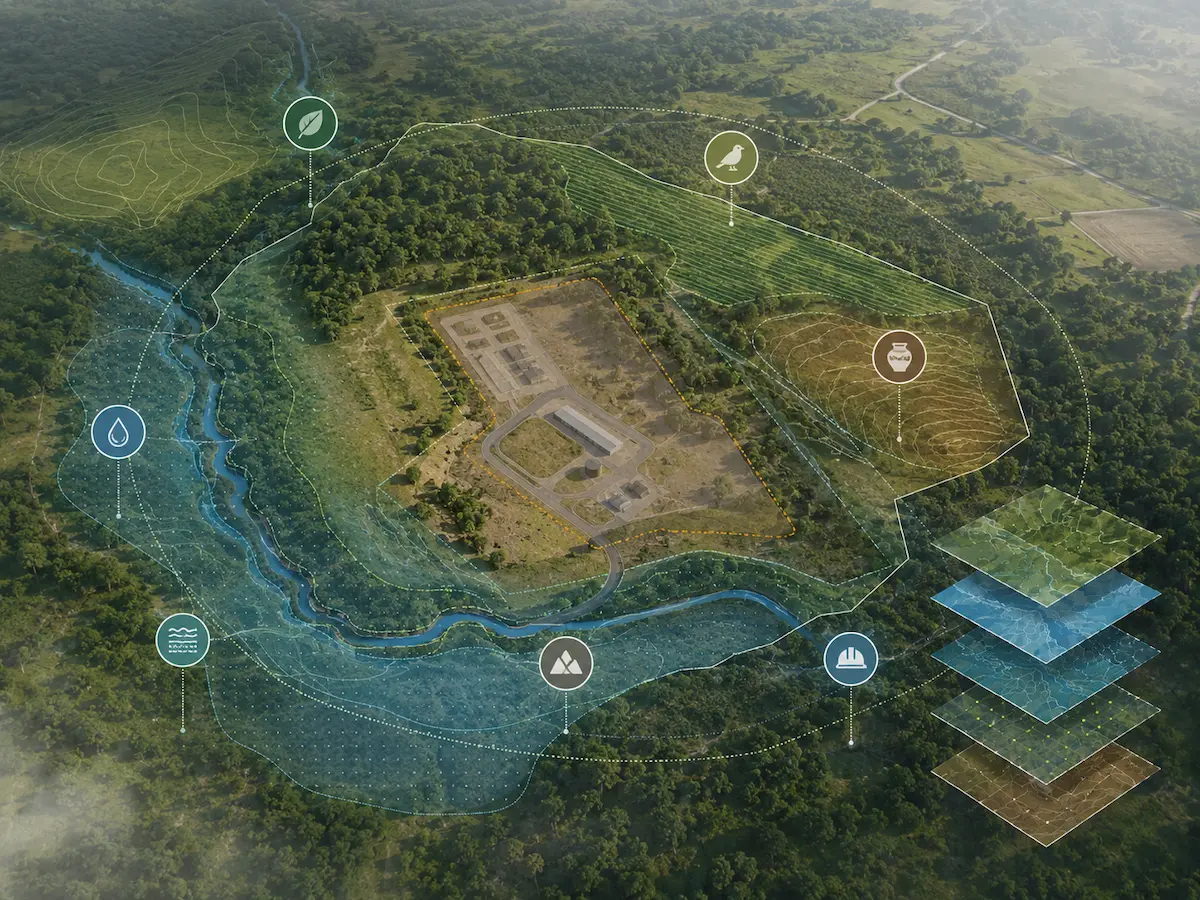
Conditions worth identifying from the outset
The wastewater solution must suit the site
When a project proposes a septic tank and drainage field, the assessment may need to verify whether soil and groundwater conditions make that alternative technically appropriate.
What may need to be assessed?
- Infiltration tests and soil absorption capacity.
- Depth to groundwater.
- Aquifer vulnerability.
- Contaminant transport.
- Hydraulic gradient and groundwater flow behavior.
- Potential impacts on water bodies or migration beyond the property boundary.
Another treatment system may be required
If regulations do not allow a septic tank and drainage field under the site conditions, the project must evaluate another alternative for domestic wastewater treatment.
Systems other than the septic tank defined by regulations are assessed as treatment plants by the Ministry of Health, within its jurisdiction over siting, design, final disposal and operational controls.
From initial analysis to the SETENA application
We organize the work so that technical, environmental and mapping components form a coherent application reflecting the actual project characteristics.
We review the project
We examine the proposed activity, location, dimensions, available design and general site conditions.
We identify requirements
We determine which information, studies, professionals and components must be included in the application.
We prepare studies and mapping
We produce or coordinate the necessary technical components and prepare the corresponding geospatial information.
We integrate the assessment
We organize project information, impacts, environmental measures and supporting documents.
We prepare the application
We organize documents for submission through SETENA’s Digital Platform and coordinate the required signatures and documentation with the developer.
We support the review
We provide technical responses to clarification requests or additional information requests relating to the components within our scope.
An environmental application must work as a whole
Our approach seeks consistency between territorial information, technical studies, environmental assessment and the actual project design.
Territorial perspective
We interpret the property, project and surrounding environmental conditions together.
Mapping and GIS
Geospatial information is part of the technical analysis, not merely an illustration in the final report.
Multidisciplinary team
We coordinate the professional disciplines required by the particular characteristics of the application.
Coordinated application
We seek consistency between the findings of different studies and the proposed solutions.
Common questions about the D1 Form
Must every project submit a D1?
No. The applicable procedure depends on the type of activity, its potential environmental impact, location, thresholds and other conditions established by current regulations.
What is the difference between DJCA, P-PGA and EsIA?
They represent different environmental assessment instruments and levels associated with the D1. The scope and complexity of the assessment increase according to the project characteristics and impacts.
Does a D1 always require a hydrogeological study?
No. The need depends on the project, proposed solution, site hydrogeological conditions and the requirements applicable to the application.
What if there is a stream, spring or well nearby?
Its relationship to the project, applicable protection zones and any additional technical study needed to assess possible impacts must be examined.
Does SETENA approve wastewater treatment plant designs?
Environmental review by SETENA and sanitary approval of the system fall under different authorities. The Ministry of Health is responsible, within its jurisdiction, for treatment plant design, siting, final disposal and operational monitoring.
Can Geo Costa Rica coordinate the required studies?
Yes. We can integrate the studies within our service portfolio and coordinate professionals from other disciplines when the application requires them.
Does your project need to begin the SETENA process?
We can review the project and site characteristics to identify the appropriate procedure, available information and technical studies that may be needed before preparing the application.
Let us review your project
Tell us what you plan to develop and what stage you have reached.