


Procedures before the Geology and Mines Directorate
Geo Costa Rica provides technical support for permits, concessions, management of existing mining rights, public-domain watercourses, and crushing or mineral processing plants in Costa Rica.
What Do You Need to Apply For?
The applicable procedure depends on whether you need a new mining right, plan to work in a watercourse, process mineral materials, or manage an existing concession.
Mining Permits and Concessions
For projects requiring assessment and applications for exploration, extraction, or other mining rights under the applicable legal framework.
Explore Mining Permits and ConcessionsPublic-Domain Watercourses
For concessions involving materials in public-domain watercourses, including reach assessment, surveying, mapping, and technical support.
Explore Watercourse ConcessionsCrushing and Mineral Processing Plants
For facilities used to crush, sort, or process mineral materials, whether associated with an existing concession or subject to a separate application.
Explore Crushing and Processing PlantsManagement of Existing Mining Concessions
For extensions, amendments, expansions, transfers, reports, suspension of operations, and other procedures related to mining rights already granted.
Explore Existing Concession ManagementWe First Assess the Site and Its Administrative Status
Before preparing studies or documentation, it is essential to determine which rights exist, which restrictions affect the site, and which administrative process actually applies.
- Location and boundaries of the area of interest.
- Cadastral data and available mining records.
- Status of any existing application or case file.
- Relevant land-use and environmental restrictions.
- Type of permit, concession, or procedure required.
From Site Assessment to Technical Documentation
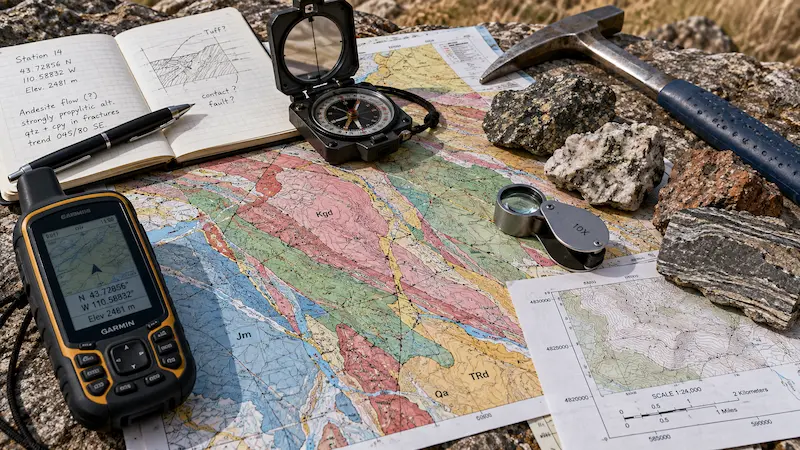
A sound mining application requires geological, spatial, cartographic, and documentary information that consistently describes the proposed project.
Site Characterization
Assessment of materials, geological units, terrain conditions, and resource setting.
Maps, Coordinates, and GIS
Area delineation, spatial analysis, technical maps, and geographic documentation for the application.
Site Verification
Verification of site conditions, access routes, infrastructure, and other features relevant to the procedure.
Project Geometry
Surveying support for project areas, watercourses, facilities, infrastructure, and other spatial requirements.
Constraints and Site Context
Assessment of surrounding conditions and territorial constraints that may affect the feasibility of the application.
Document Integration
Organization of technical documents to ensure consistency among studies, plans, and administrative submissions.
Mining Permits and Environmental Assessments Must Be Consistent
Depending on the project, procedures before the Geology and Mines Directorate may be linked to environmental assessment and other institutional approvals.
Mining Rights and Technical Procedures
The DGM administers the mining regulatory framework and procedures related to permits, concessions, mineral processing, and actions involving existing rights.
Environmental Assessment and Approval
Environmental assessment evaluates the project's environmental impacts and conditions under the procedure applicable to each activity.
A mining permit or concession does not replace environmental assessment, and environmental approval does not replace the mining rights or authorizations required from the DGM.
We Determine the Procedure Before Commissioning Studies
Rather than starting with disconnected documents, we first assess the project and its location, determine the applicable procedure, and then prepare the required technical documentation.
Initial Assessment
We review the location, project objectives, background information, and application status.
Technical Support
We integrate mapping, geology, fieldwork, surveying, and other necessary technical information.
Application Management and Follow-Up
We organize the documentation and provide technical support in responding to observations and requests for additional information.
Technical Expertise to Understand the Entire Project
Mining procedures may require input from several disciplines. We integrate these elements to minimize inconsistencies between site conditions, technical studies, and the application file.
Geology
Materials, geological units, and site conditions.
Mapping and GIS
Delineation, spatial analysis, maps, and geographic documentation.
Surveying
Geometry, surface measurements, and surveying support for project areas and infrastructure.
Hydrogeology
Assessment of water resources when relevant to the project.
Environmental Assessment
Coordination with the applicable environmental assessment procedure before SETENA.
Fieldwork
Direct verification of relevant site conditions.
Common Questions About DGM Procedures
Which DGM procedures can Geo Costa Rica assist with?
We provide technical support for mining permits and concessions, public-domain watercourse concessions, crushing and mineral processing plants, and procedures relating to existing mining rights.
How do I know which procedure I need?
It depends on the project's purpose, location, resource type, and whether a mining right already exists. We therefore recommend reviewing the case and any existing file first.
Does owning land mean I can extract its mineral resources?
No. Land ownership and mining rights are legally distinct. Whether mining can take place depends on the applicable legal framework and authorizations.
Do DGM and SETENA handle the same procedure?
No. DGM administers mining rights and permits, while SETENA assesses environmental matters. Depending on the project, the two procedures must be technically consistent.
Can Geo Costa Rica prepare maps for DGM applications?
Yes. We can prepare and review maps, coordinates, boundaries, plans, and GIS files as part of the technical application support.
Can you review an application that is already under way?
Yes. We can review the available case file, background information, observations, and technical documentation to identify what needs to be corrected or completed.
Is a concession in a river the same as an ordinary mining concession?
No. Concessions involving public-domain watercourses have specific requirements relating to location, reach length, surveying, and administrative procedures.
Is a crushing plant the same as a mining concession?
No. Extracting mineral resources and processing them are separate activities. The procedure applicable to a crushing or processing plant depends on its relationship with the mining concession.
We First Review Your Case to Determine the Appropriate Procedure
We can review the location, records, maps, application file, and project objectives to determine which procedure applies and what technical support is needed.